About the Park
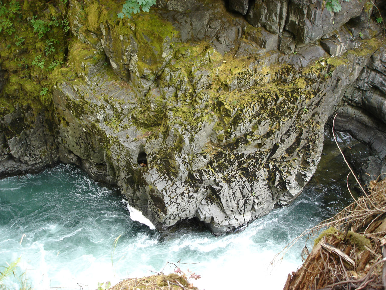
There are 2 kilometres of walking trails at this park. A half kilometre trail leads from the parking lot at the day-use area to the fish ladder. A lookout above the fish ladder has great views of the river and spawning salmon in the autumn. Signs at this point offer information about the fish spawning cycle. The trails continue through the forest. There is also a loop trail that overlooks the river.
For more information, please visit www.bcparks.ca.

Park Info
Activities
Hiking
Fishing
Pets on leash
Bicycling
BBQ
Amenities
Vehicle accessible
Camping
Toilets
Drinking water
Winter recreation
Location
Stamp River Provincial Park is located northwest of Port Alberni on central Vancouver Island. Follow Hwy #4 past Port Alberni and turn onto Beaver Creek Road. Follow signs to the park.
Nearby Parks
Sproat Lake Provincial Park is within a 20 minute drive from the park and is renowned for its warm lake waters and Mars Water Bombers. Cathedral Grove at MacMillan Provincial Park and Little Qualicum Falls Provincial Park are about 50 minutes south of Stamp Falls on HWY#4.
For more information, please visit www.bcparks.ca.
The #stampriverprovincialpark Experience
Internet users are tagging #stampriverprovincialpark on Instagram and those photos automatically appear below.
How many bears can you spot ?
sorry maelle_hbrt :(
#canadiananimals #travelophotography #pvtcanada #wildlifelovers #bear #blackbear #salmon #salmonfishing #bearfishing #salmonriver #stampriverprovincialpark #vancouverisland #vancouverislandbc #britishcolumbia #canadatravel #naturelovers
britishcolumbian britishcolumbiamagazine nomadict travelmag.vn canada.explores destination_vancouver explore.vancouverisland
🏕️ Last camping trip of summer ! 🐻
.
travisjadams
.
#goodbyesummer #labourdayweekend #camping #stampriver #stampriverprovincialpark #sproatlake #lake #river #bear #salmon #reels #campingreel #campingvibes #portalberni #beautifulbritishcolumbia #beautifulbc #explorebc #vancouverisland #canada 💚
👩🏼❤️💋👨🏼 Thanks again for asking me to be your girlfriend 1 year ago travisjadams 🥰 #iloveyou #bestboyfriend #1year #herestomanymore #happyday #anniversary #happyanniversary #love #boyfriend #coupleselfie #myrock #mybestfriend #riverselfie #stampriver #stampriverprovincialpark #portalberni #vancouverisland #beautifulbc #britishcolumbia 🩷
🐟 Discover the Magic of Stamp River! 🌊
Stamp River is your year-round escape, famed for the annual spectacle of Pacific salmon migration. 🐟 Watch in awe as these resilient creatures gather in the pool beneath Stamp Falls, brimming with anticipation before their journey up the fish ladders to their spawning grounds.
Embrace the wonder of nature as you witness the incredible sight of salmon battling the currents to reach their destined spawning beds.
Whether you’re here in June, July, or August, you can catch these majestic salmon along the breathtaking Stamp Falls.
#stampriverprovincialpark #pacificsalmonrun #stampriver #salmonrun #salmonmigration #wildsalmon
